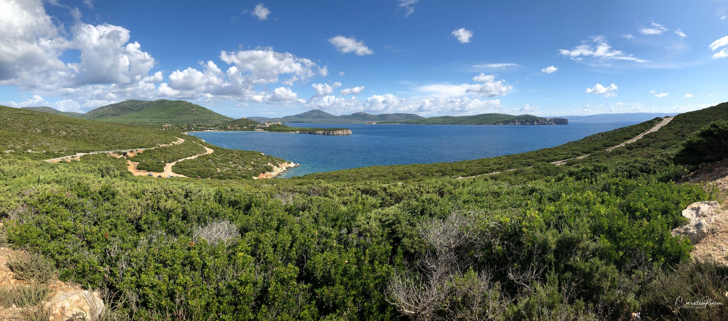
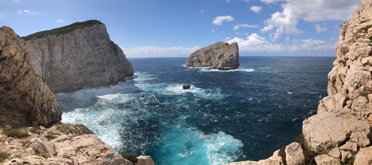
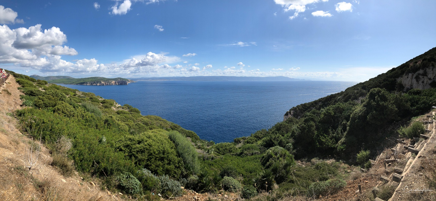
The Regional Natural Park of Porto Conte was established by an act of the Autonomous Region of Sardinia n.4 of 26. Februar 1999. Stretching over five acres, it includes areas rich in biodiversity and internationally protected priority habitats. The territory of the park is essentially flat towards the sea with borders for more than 60km of coastline of alternating rocky cliffs and sandy coasts. Most of the hills are located in the inner part of Porto Conte bay, where Monte Doglia stands out and towards the promontory of Capo Caccia where the summit of Monte Timidone can be admired. The richness of internationally renowned plant and animal species is to be found in the protected oasis located within the state forest of “Prigionette”, managed by the Sardinian Forestry Authority, as well as in the forest complex of Punta Giglio, where it is also possible to admire the military anti-ship fortifications from the last world war. The geological origin of the headlands of Capo Caccia and Punta Giglio has created an immense wealth of submerged sea caves among the most famous and visited is the Neptune’s Cave. (© Regione Autònoma De Sardigna)

Exposure: 1/2000 sec at f / 1,8; Focal Length: 3,99 mm; ISO Speed Rating: ISO 20; Model: iPhone 8 Plus; Lens: iPhone 8 Plus back camera
Country: Italy; Region: Alghero; Longitude: 40°34’27.75” N; Latitude: 8°9’32.58” E

Exposure: 1/3000 sec at f / 1,8; Focal Length: 3,99 mm; ISO Speed Rating: ISO 25; Model: iPhone 8 Plus; Lens: iPhone 8 Plus back camera
Country: Italy; Region: Alghero; Longitude: 40°34’27.869” N; Latitude: 8°9’32.039” E

Exposure: 1/2000 sec at f / 1,8; Focal Length: 3,99 mm; ISO Speed Rating: ISO 20; Model: iPhone 8 Plus; Lens: iPhone 8 Plus back camera
Country: Italy; Region: Alghero; Longitude: 40°33’48.191” N; Latitude: 8°9’48.401” E
